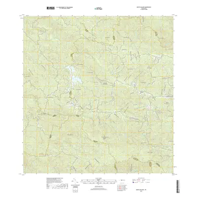
2018 Map of Monte Guilarte
USGS Topo · Published 2018About this map
The interior mountains of Puerto Rico's central cordillera define the landscape of this 2018 survey. The terrain is a complex network of peaks and deep river valleys, notably marked by the heights of Monte Guilarte and Monte Membrillo. Water management and natural drainage are central themes here, evidenced by the presence of Lago Guayo and the headwaters of numerous rivers including the Rio Yahuecas and Rio Guilarte.
Find a feature on this map
101 named features on this map. Tap any name to fly to it.
Don’t see what you’re looking for? This feature index may not catch every label — zoom into the map to look around manually.
Map Details
Editions of this 2018 Monte Guilarte Map
This is the sole edition of this map. No revisions or reprints were ever made.
Other maps of this area

1937 · Sabana Grande
USGS Topo · 1:25,000

1938 · San Sebastian
USGS Topo · 1:20,000

1941 · San Sebastian
USGS Topo · 1:30,000

1941 · Sabana Grande
USGS Topo · 1:30,000

1946 · Maricao
USGS Topo · 1:30,000

1946 · Utuado
USGS Topo · 1:30,000

1946 · Bayaney
USGS Topo · 1:30,000

1946 · Yauco
USGS Topo · 1:30,000

1946 · Monte Guilarte
USGS Topo · 1:30,000

1946 · Penuelas
USGS Topo · 1:30,000
Featured Places
- Sector Jiménez Santiago, Adjuntas
- Sector Lombrices, Adjuntas
- Sector Los Pagán, Adjuntas
- Sector Palo Seco, Adjuntas
- Sector Titulo Quinto, Adjuntas