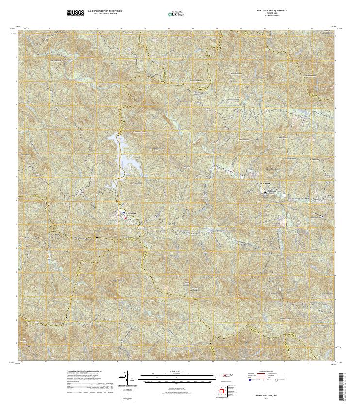
2024 Map of Monte Guilarte
USGS Topo · Published 2024About this map
Monte Guilarte and the surrounding high-altitude terrain of the Cordillera Central dominate this 2024 landscape, where steep ridges divide numerous river headwaters. The settlement of Castañer serves as a local hub near the reservoir of Lago Guayo, while the Cementerio Municipal Yahuecas near Villa Pérez provides a specific point of interest for genealogists tracing local families. The map illustrates a complex network of local roads and named passages like Cuesta La Ceiba and Cuesta La Colonia, which navigate the dramatic elevation changes between peaks like Monte Membrillo and the Salto de Inabón waterfall. This topographic study captures the essential hydrological and transport patterns of the Puerto Rican interior, from the Adjuntas Airport to the various quebradas that feed the island's primary river systems.
Find a feature on this map
92 named features on this map. Tap any name to fly to it.
Don’t see what you’re looking for? This feature index may not catch every label — zoom into the map to look around manually.
Map Details
Editions of this 2024 Monte Guilarte Map
This is the sole edition of this map. No revisions or reprints were ever made.
Other maps of this area

1937 · Sabana Grande
USGS Topo · 1:25,000

1938 · San Sebastian
USGS Topo · 1:20,000

1941 · San Sebastian
USGS Topo · 1:30,000

1941 · Sabana Grande
USGS Topo · 1:30,000

1946 · Maricao
USGS Topo · 1:30,000

1946 · Utuado
USGS Topo · 1:30,000

1946 · Bayaney
USGS Topo · 1:30,000

1946 · Yauco
USGS Topo · 1:30,000

1946 · Monte Guilarte
USGS Topo · 1:30,000

1946 · Penuelas
USGS Topo · 1:30,000
Featured Places
- Sector Lombrices, Adjuntas
- Sector Palo Seco, Adjuntas
- Sector Titulo Quinto, Adjuntas
- Sector Jiménez Santiago, Adjuntas
- Sector Los Pagán, Adjuntas