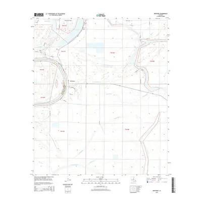
2015 Map of Monterey
USGS Topo · Published 2015About this map
Monterey serves as the central hub in this corner of Concordia Parish, where the local road network converges near the winding path of Plouden Bayou. The landscape is defined by its complex hydrology, dominated by the expansive Cocodrie Lake and the branching waterways of Bayou Cocodrie and Bayou Cross Cocodrie. This 2015 survey reveals a terrain shaped by long-standing agricultural and township boundaries, such as the line separating t6n r7e and t6n r8e.
Find a feature on this map
45 named features on this map. Tap any name to fly to it.
Don’t see what you’re looking for? This feature index may not catch every label — zoom into the map to look around manually.
Map Details
Editions of this 2015 Monterey Map
This is the sole edition of this map. No revisions or reprints were ever made.
Other maps of this area

1909 · Sycamore Landing
USGS Topo · 1:24,000

1935 · Tooleys
USGS Topo · 1:62,500

1939 · Red Gum
USGS Topo · 1:62,500

1939 · Deer Park
USGS Topo · 1:62,500

1941 · Manifest
USGS Topo · 1:62,500

1941 · Tooleys
USGS Topo · 1:62,500

1953 · Natchez
USGS Topo · 1:250,000

1956 · Natchez
USGS Topo · 1:250,000

1959 · Natchez
USGS Topo · 1:250,000

1960 · Jonesville
USGS Topo · 1:62,500