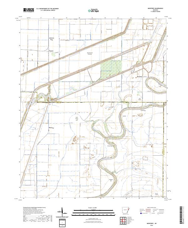
2024 Map of Monterey
USGS Topo · Published 2024About this map
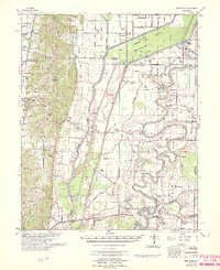
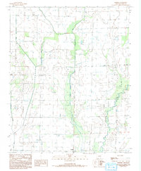
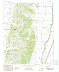
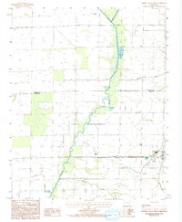
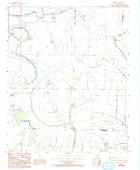
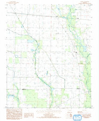
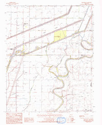
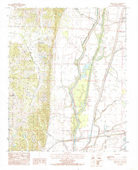
The Saint Francis River snakes through the bottomlands of the Arkansas delta, defining the shared boundaries of Cross, Poinsett, and Crittenden counties. This 2024 landscape is characterized by its complex hydrology, where the river's winding course is accompanied by numerous sandbars like Fortune Bar, Lee Bar, and Turnbull Bar. The surrounding terrain is a network of drainage and overflow channels, including the Oak Donnick Floodway and Steep Gut Bayou, reflecting the region's managed agricultural water systems.
Find a feature on this map
43 named features on this map. Tap any name to fly to it.
Don’t see what you’re looking for? This feature index may not catch every label — zoom into the map to look around manually.
Map Details
Editions of this 2024 Monterey Map
This is the sole edition of this map. No revisions or reprints were ever made.
Historical Maps of Anderson Tully Through Time
20 maps found
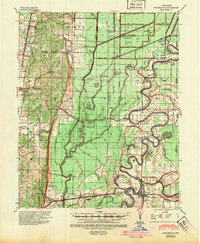
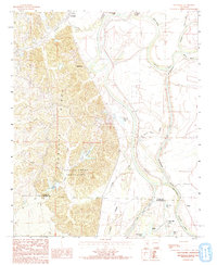
1940 Princedale
Cross County, AR
1956 Princedale
Cross County, AR
1962 Princedale
Cross County, AR
1966 Princedale
Cross County, AR
1984 Central
Cross County, AR
1984 Cherry Valley East
Cross County, AR
1984 Cherry Valley West
Cross County, AR
1984 Gieseck
Cross County, AR
1984 Hamlin
Cross County, AR
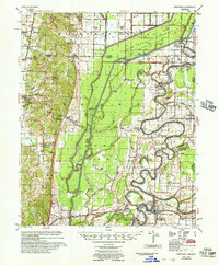
1984 Monterey
Cross County, AR
1984 Princedale
Cross County, AR
1984 Wittsburg
Cross County, AR
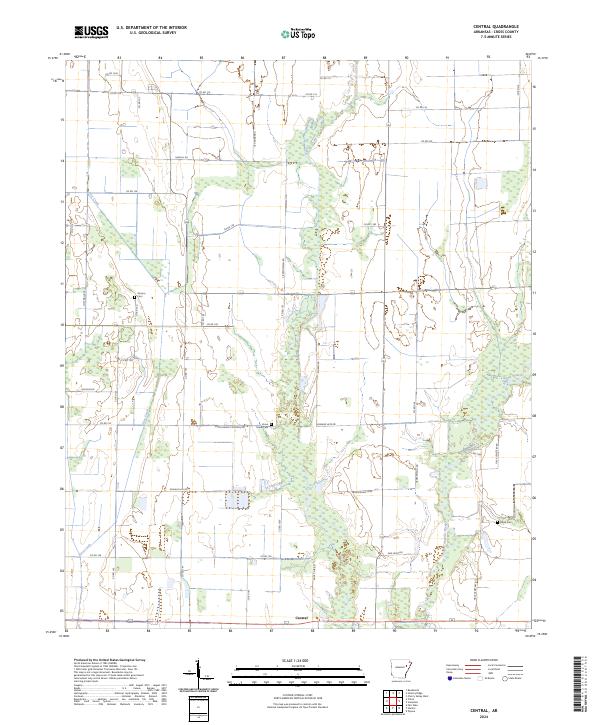
2024 Central
Cross County, AR
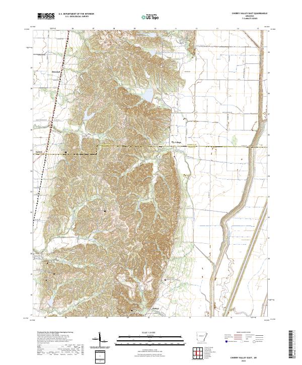
2024 Cherry Valley East
Cross County, AR
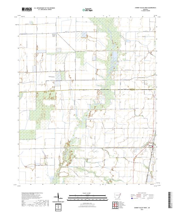
2024 Cherry Valley West
Cross County, AR
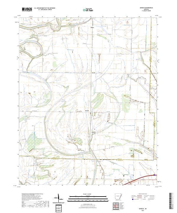
2024 Gieseck
Cross County, AR
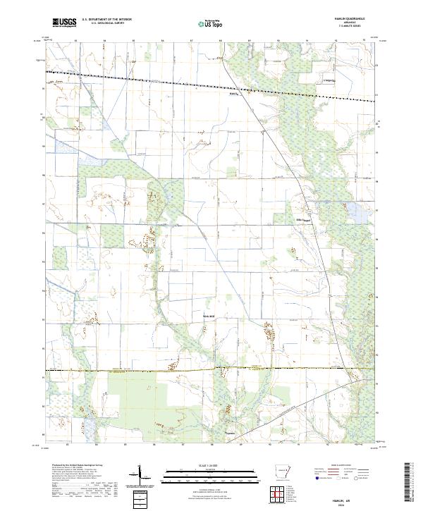
2024 Hamlin
Cross County, AR
2024 Monterey
Cross County, AR
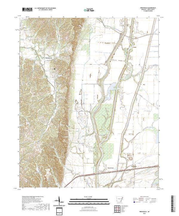
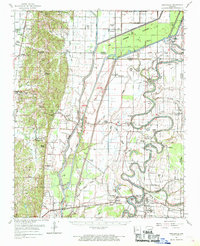
2024 Princedale
Cross County, AR
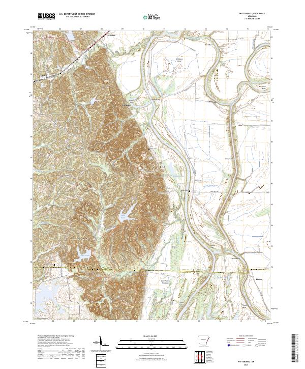
2024 Wittsburg
Cross County, AR