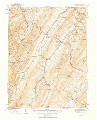
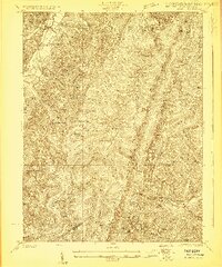
1941 Map of Monterey
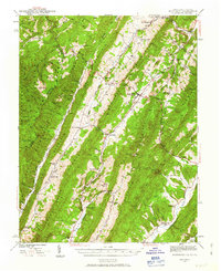
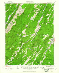
USGS Topo · Published 1963About this map
Monterey serves as the central hub of this Highland County landscape, situated where the Parkersburg and Staunton Turnpike cuts between Monterey Mountain and Jack Mountain. The mapping, based on 1940s surveys, reveals a settlement pattern dictated by the high-elevation valleys of the Jackson River and the South Branch Potomac River. Small mountain communities like New Hampden, Vanderpool, and Hightown are connected by narrow roads that trace the floor of the Crab Bottom and the base of the Allegheny Mountain ridge.
Find a feature on this map
105 named features on this map. Tap any name to fly to it.
Don’t see what you’re looking for? This feature index may not catch every label — zoom into the map to look around manually.
Map Details
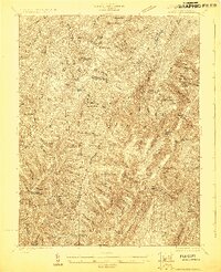
Editions of this 1941 Monterey Map
2 editions found
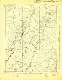
Other maps of this area

1889 · Beverly
USGS Topo · 1:125,000

1892 · Beverly
USGS Topo · 1:125,000

1892 · Franklin
USGS Topo · 1:125,000

1894 · Staunton
USGS Topo · 1:125,000

1896 · Franklin
USGS Topo · 1:125,000

1901 · Monterey
USGS Topo · 1:125,000
1922 · Spruce Knob
USGS Topo · 1:48,000
1922 · Cass
USGS Topo · 1:48,000
1922 · Durbin
USGS Topo · 1:48,000
1922 · Circleville
USGS Topo · 1:62,500