
1947 Map of Monterey
USGS Topo · Published 1956About this map
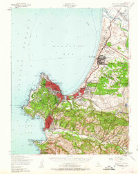
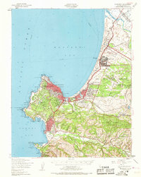
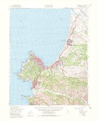
Monterey and its surrounding peninsula reflect a complex landscape of military readiness and historic coastal settlement shortly after the war. The sprawling Fort Ord Military Reservation dominates the northern coastline, featuring a grid of barracks at the Main Garrison, a Target Range, and the Fort Ord Village. To the south, the historic core of the Presidio of Monterey sits adjacent to the developed streets of Pacific Grove and the more rustic Carmel by the Sea.
Find a feature on this map
98 named features on this map. Tap any name to fly to it.
Don’t see what you’re looking for? This feature index may not catch every label — zoom into the map to look around manually.
Map Details
Editions of this 1947 Monterey Map
4 editions found
Other maps of this area

1910 · Salinas
USGS Topo · 1:31,680

1912 · Salinas
USGS Topo · 1:62,500

1912 · Capitola
USGS Topo · 1:62,500

1913 · Monterey
USGS Topo · 1:62,500

1914 · Capitola
USGS Topo · 1:62,500

1915 · San Juan Bautista
USGS Topo · 1:48,000

1917 · San Juan Bautista
USGS Topo · 1:62,500

1918 · Point Sur
USGS Topo · 1:62,500

1920 · Jamesburg
USGS Topo · 1:48,000

1921 · Jamesburg
USGS Topo · 1:62,500