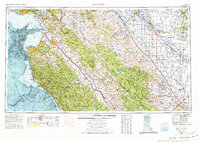
1974 Map of Monterey
USGS Topo · Published 1977About this map
Santa Lucia Range peaks tower over the Central Coast in this mid-1970s survey, documenting the transition from the marine environments of Monterey Bay to the agricultural heartland of the Central Valley. The map traces the historical path of the Spanish era through the preservation of the San Carlos Borromeo Mission and the San Juan Bautista Mission. Coastal landmarks like the Point Sur Lighthouse and the Presidio of Monterey stand as sentinels along the Pacific, while the interior valleys reveal a landscape defined by the Salinas River and the intensive rail network of the Southern Pacific railroad.
Find a feature on this map
154 named features on this map. Tap any name to fly to it.
Don’t see what you’re looking for? This feature index may not catch every label — zoom into the map to look around manually.
Map Details
Editions of this 1974 Monterey Map
This is the sole edition of this map. No revisions or reprints were ever made.
Other maps of this area

1902 · Santa Cruz
USGS Topo · 1:125,000
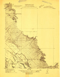
1910 · Gonzales
USGS Topo · 1:31,680
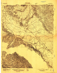
1910 · Salinas
USGS Topo · 1:31,680
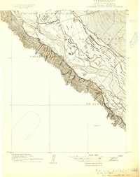
1910 · Soledad
USGS Topo · 1:31,680
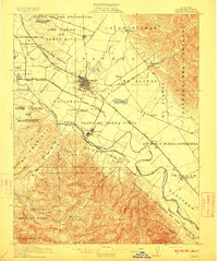
1912 · Salinas
USGS Topo · 1:62,500
1912 · Coalinga
USGS Topo · 1:125,000
1912 · San Ardo
USGS Topo · 1:31,680
1912 · Metz
USGS Topo · 1:31,680
1912 · Mariposa
USGS Topo · 1:125,000
1912 · Capitola
USGS Topo · 1:62,500