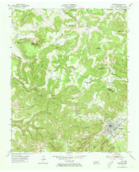
1955 Map of Monterey
USGS Topo · Published 1973About this map
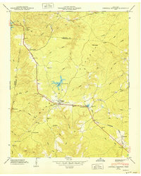
The Tennessee Central Railroad cuts a prominent diagonal path through this 1955 survey of the Cumberland Plateau, anchoring the town of Monterey. This rail-oriented settlement serves as the primary hub for a landscape defined by dramatic changes in elevation, where the high ridges of Turkey Mountain and Willet Mountain give way to a network of deep drainage basins like Welch Hollow and Barnes Hollow. The distribution of smaller communities such as Rays and Pinhook reflects the era's rural connectivity, often centered around small educational and spiritual institutions.
Find a feature on this map
43 named features on this map. Tap any name to fly to it.
Don’t see what you’re looking for? This feature index may not catch every label — zoom into the map to look around manually.
Map Details
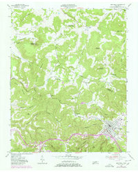
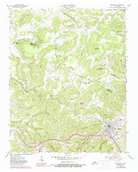
Editions of this 1955 Monterey Map
3 editions found
Other maps of this area

1897 · Standingstone
USGS Topo · 1:125,000

1898 · Standingstone
USGS Topo · 1:125,000

1935 · Campbell Junction
USGS Topo · 1:24,000

1943 · Cookeville
USGS Topo · 1:100,000

1944 · Cookeville
USGS Topo · 1:100,000

1946 · Campbell Junction
USGS Topo · 1:24,000

1946 · Obey City
USGS Topo · 1:24,000
1950 · Obey City
USGS Topo · 1:24,000
1950 · Campbell Junction
USGS Topo · 1:24,000

1951 · Windle
USGS Topo · 1:24,000