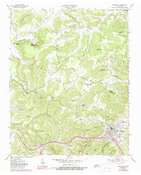
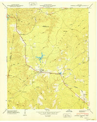
1955 Map of Monterey
USGS Topo · Published 1988About this map
Monterey serves as a focal point in the late 1950s, where the Louisville and Nashville Railroad winds through the hills of the Cumberland Plateau. The landscape is defined by its hollows and ridges, with the Falling Water River cutting a path between Bee Rock and the surrounding heights. Evidence of rural life is scattered across the terrain, from the Shady Grove Sch and Pleasant Shade Sch to the many family-named cemeteries such as Walker Cem and Stamps Cem.
Find a feature on this map
48 named features on this map. Tap any name to fly to it.
Don’t see what you’re looking for? This feature index may not catch every label — zoom into the map to look around manually.
Map Details
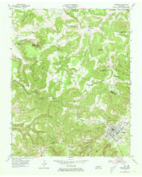
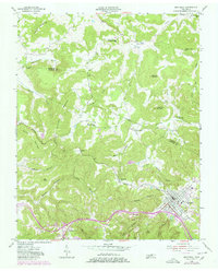
Editions of this 1955 Monterey Map
3 editions found
Other maps of this area

1897 · Standingstone
USGS Topo · 1:125,000

1898 · Standingstone
USGS Topo · 1:125,000

1935 · Campbell Junction
USGS Topo · 1:24,000

1943 · Cookeville
USGS Topo · 1:100,000

1944 · Cookeville
USGS Topo · 1:100,000

1946 · Campbell Junction
USGS Topo · 1:24,000

1946 · Obey City
USGS Topo · 1:24,000
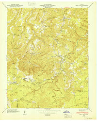
1950 · Obey City
USGS Topo · 1:24,000
1950 · Campbell Junction
USGS Topo · 1:24,000

1951 · Windle
USGS Topo · 1:24,000