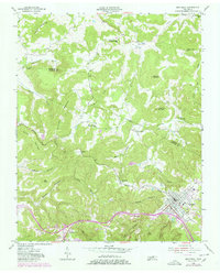
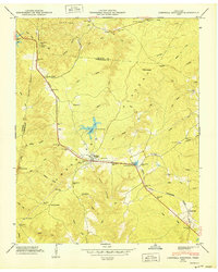
1955 Map of Monterey
USGS Topo · Published 1980About this map
The town of Monterey serves as the focal point for this study of the Putnam and Overton County borderlands, situated where the Louisville and Nashville Railroad winds through the high plateaus. The landscape is defined by a dense network of family-named hollows and peaks, including Blaylock Mountain and Willet Mountain, interspersed with scattered upland settlements like Sand Springs and Pinhook.
Find a feature on this map
52 named features on this map. Tap any name to fly to it.
Don’t see what you’re looking for? This feature index may not catch every label — zoom into the map to look around manually.
Map Details
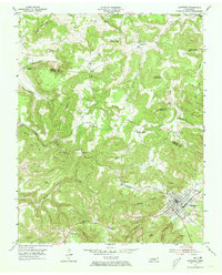
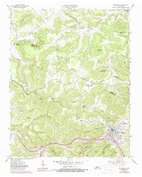
Editions of this 1955 Monterey Map
3 editions found
Other maps of this area

1897 · Standingstone
USGS Topo · 1:125,000

1898 · Standingstone
USGS Topo · 1:125,000

1935 · Campbell Junction
USGS Topo · 1:24,000

1943 · Cookeville
USGS Topo · 1:100,000

1944 · Cookeville
USGS Topo · 1:100,000

1946 · Campbell Junction
USGS Topo · 1:24,000

1946 · Obey City
USGS Topo · 1:24,000
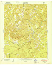
1950 · Obey City
USGS Topo · 1:24,000
1950 · Campbell Junction
USGS Topo · 1:24,000

1951 · Windle
USGS Topo · 1:24,000