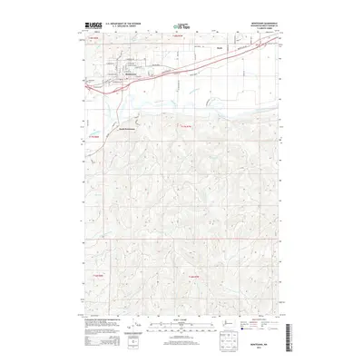
2014 Map of Montesano
USGS Topo · Published 2014About this map
Montesano serves as the focal point for this landscape where the Wynoochee River meets the larger Chehalis River valley. The map reveals the organized street grid of the town, including W Broadway Ave and E Simpson Ave, extending toward the neighboring settlements of South Montesano and Brady. North of the town center, Sylvia Lake and the Wynoochee Cem provide distinct landmarks for local history and genealogy research.
Find a feature on this map
66 named features on this map. Tap any name to fly to it.
Don’t see what you’re looking for? This feature index may not catch every label — zoom into the map to look around manually.
Map Details
Editions of this 2014 Montesano Map
This is the sole edition of this map. No revisions or reprints were ever made.
Other maps of this area

1940 · Montesano
USGS Topo · 1:62,500

1941 · Mobray
USGS Topo · 1:62,500

1941 · Ford
USGS Topo · 1:62,500

1943 · Nahwatzel Lake
USGS Topo · 1:62,500

1943 · Mobray
USGS Topo · 1:62,500

1953 · Hoquiam
USGS Topo · 1:250,000

1953 · Malone
USGS Topo · 1:62,500

1953 · Elma
USGS Topo · 1:62,500

1955 · Montesano
USGS Topo · 1:62,500

1955 · Wynoochee Valley
USGS Topo · 1:62,500