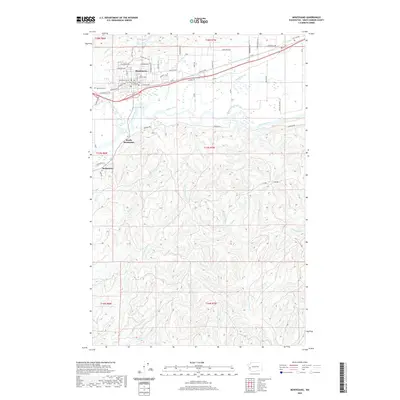
2020 Map of Montesano
USGS Topo · Published 2020About this map
The Grays Harbor County Courthouse serves as the focal point for Montesano, situated north of the expansive river valley where the Wynoochee River meets the Chehalis River. The landscape is defined by the complex hydrology of the Chehalis floodplains, featuring intricate waterways such as Cutoff Slough, Metcalf Slough, and Smith Canal. To the north, Sylvia Lake and Sylvia Cr offer a contrast to the industrial and agricultural corridors below.
Find a feature on this map
48 named features on this map. Tap any name to fly to it.
Don’t see what you’re looking for? This feature index may not catch every label — zoom into the map to look around manually.
Map Details
Editions of this 2020 Montesano Map
This is the sole edition of this map. No revisions or reprints were ever made.
Other maps of this area
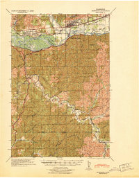
1940 · Montesano
USGS Topo · 1:62,500
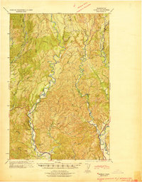
1941 · Mobray
USGS Topo · 1:62,500
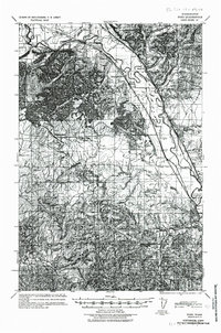
1941 · Ford
USGS Topo · 1:62,500
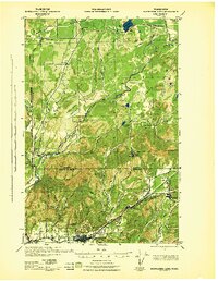
1943 · Nahwatzel Lake
USGS Topo · 1:62,500
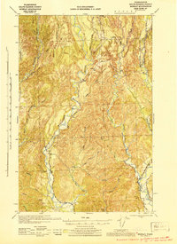
1943 · Mobray
USGS Topo · 1:62,500

1953 · Hoquiam
USGS Topo · 1:250,000
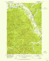
1953 · Malone
USGS Topo · 1:62,500
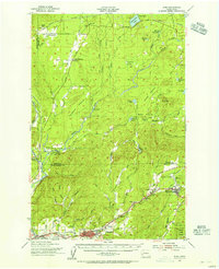
1953 · Elma
USGS Topo · 1:62,500
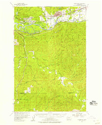
1955 · Montesano
USGS Topo · 1:62,500
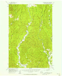
1955 · Wynoochee Valley
USGS Topo · 1:62,500