
1910 Map of Montevallo
USGS Topo · Published 1910About this map
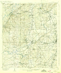
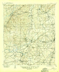
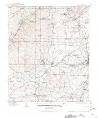
The railroad and mining landscape of Central Alabama is meticulously detailed in this early 20th-century survey. Montevallo serves as the central hub, where the Southern RR and Birmingham RR converge, facilitating the movement of coal and iron from industrial outposts like Aldrich and Gurnee. To the south, the industrial history of the region is evident at the Bibb Furnace (RUINS) near Brierfield, while timber operations are revealed by the Lumber Tramroad systems threading through Locust Ridge.
Find a feature on this map
93 named features on this map. Tap any name to fly to it.
Don’t see what you’re looking for? This feature index may not catch every label — zoom into the map to look around manually.
Map Details
Editions of this 1910 Montevallo Map
4 editions found
Other maps of this area

1890 · Bessemer
USGS Topo · 1:125,000

1891 · Clanton
USGS Topo · 1:125,000

1892 · Bessemer
USGS Topo · 1:125,000

1899 · Brookwood
USGS Topo · 1:125,000

1905 · Bessemer Iron District
USGS Topo · 1:62,500

1906 · Vandiver
USGS Topo · 1:62,500

1907 · Bessemer Special
USGS Topo · 1:62,500

1908 · Vandiver
USGS Topo · 1:62,500

1909 · Columbiana
USGS Topo · 1:62,500

1911 · Columbiana
USGS Topo · 1:62,500