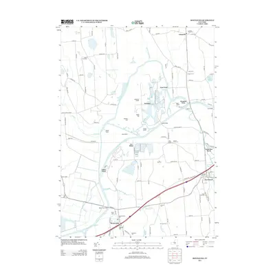
2013 Map of Montezuma
USGS Topo · Published 2013About this map
The Seneca River and its intricate wetlands dominate this Central New York landscape, defining a region where water and transport networks converge. In the southern portion, the village of Montezuma sits at the base of Emerson Hill, near where the historic path of the Barge Canal Bridge spans the river. To the east, the village of Port Byron serves as a primary hub, situated near the Owasco River and the CSX rail line. The map reveals a high density of genealogical sites, including the Old Port Byron Cem, Wethy Family Cem, and Old Montezuma Cem.
Find a feature on this map
110 named features on this map. Tap any name to fly to it.
Don’t see what you’re looking for? This feature index may not catch every label — zoom into the map to look around manually.
Map Details
Editions of this 2013 Montezuma Map
This is the sole edition of this map. No revisions or reprints were ever made.
Other maps of this area

1899 · Auburn
USGS Topo · 1:62,500

1902 · Geneva
USGS Topo · 1:62,500

1902 · Clyde
USGS Topo · 1:62,500

1902 · Weedsport
USGS Topo · 1:62,500

1902 · Auburn
USGS Topo · 1:62,500

1943 · Montezuma
USGS Topo · 1:31,680

1943 · Cayuga
USGS Topo · 1:31,680

1943 · Cato
USGS Topo · 1:31,680

1943 · Savannah
USGS Topo · 1:31,680

1943 · Weedsport
USGS Topo · 1:31,680