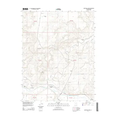
2014 Map of Montezuma Creek
USGS Topo · Published 2014About this map
Montezuma Creek and the surrounding San Juan Valley define this landscape along the San Juan River in southeastern Utah. The area is characterized by an intersection of natural features and industrial development, most notably the Aneth Oil Field which occupies the central plateau. High elevation landmarks like McCracken Mesa and Gray Ridge overlook a network of water sources including Hot Spring, Touchee Spring, and Blueberry Spring. The terrain is deeply incised by several named canyons, such as Black Rock Canyon and Bucket Canyon. Local infrastructure is visible through a complex system of county and state roads like Texaco Rd and Red Mesa Rd, which support the regional energy and agricultural activity concentrated near the river corridor.
Find a feature on this map
43 named features on this map. Tap any name to fly to it.
Don’t see what you’re looking for? This feature index may not catch every label — zoom into the map to look around manually.
Map Details
Editions of this 2014 Montezuma Creek Map
This is the sole edition of this map. No revisions or reprints were ever made.
Other maps of this area

1886 · Abajo
USGS Topo · 1:250,000

1892 · Abajo
USGS Topo · 1:250,000

1893 · Abajo
USGS Topo · 1:250,000

1956 · Cortez
USGS Topo · 1:250,000

1957 · Aneth 1 NW
USGS Topo · 1:24,000

1958 · Cortez
USGS Topo · 1:250,000

1958 · Aneth 1 SW
USGS Topo · 1:24,000

1958 · Cajon Mesa
USGS Topo · 1:62,500

1959 · Cortez
USGS Topo · 1:250,000

1962 · Cortez
USGS Topo · 1:250,000