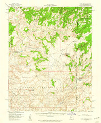
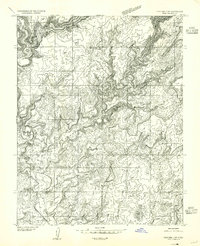
1958 Map of Cajon Mesa
USGS Topo · Published 1960About this map
The canyonlands of the Utah-Colorado border are defined here by archaeological sites and early mid-century infrastructure. Archaeological interest centers on Hovenweep National Monument, which protects numerous Ancestral Puebloan structures including the Square Tower Group Ruins, Hackberry Group Ruins, and Holly Group Ruins. Scattered throughout the deep cuts of Montezuma Canyon and Cross Canyon are additional Cliff Dwellings and Patroglyphs, marking a landscape long inhabited before modern settlement.
Find a feature on this map
52 named features on this map. Tap any name to fly to it.
Don’t see what you’re looking for? This feature index may not catch every label — zoom into the map to look around manually.
Map Details
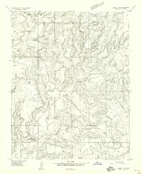
Editions of this 1958 Cajon Mesa Map
3 editions found
Other maps of this area

1886 · Abajo
USGS Topo · 1:250,000

1892 · Abajo
USGS Topo · 1:250,000

1893 · Abajo
USGS Topo · 1:250,000
1955 · Verdure 3 SE
USGS Topo · 1:24,000
1955 · Verdure 4 SW
USGS Topo · 1:24,000

1956 · Cortez
USGS Topo · 1:250,000

1957 · Moqui NW
USGS Topo · 1:24,000

1957 · Aneth 1 NE
USGS Topo · 1:24,000

1957 · Cedar 3 SW
USGS Topo · 1:24,000
1957 · Aneth 1 NW
USGS Topo · 1:24,000