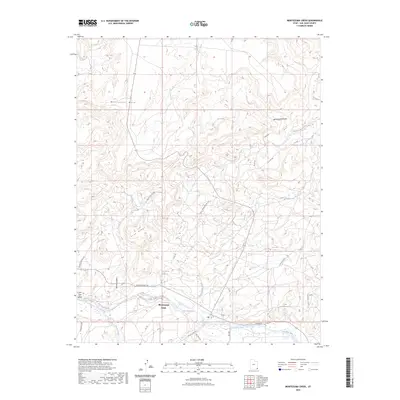
2023 Map of Montezuma Creek
USGS Topo · Published 2023About this map
Montezuma Creek centers this landscape in the southeastern corner of Utah, situated along the northern banks of the San Juan River. The settlement is positioned at a natural crossroads where the river meets the drainage of its namesake waterway, with the high ground of McCracken Mesa and Gray Ridge defining the northern horizon. The road network reflects a history of trade and movement through the canyon country, featuring routes like Trading Post Rd and Old Aneth Rd.
Find a feature on this map
32 named features on this map. Tap any name to fly to it.
Don’t see what you’re looking for? This feature index may not catch every label — zoom into the map to look around manually.
Map Details
Editions of this 2023 Montezuma Creek Map
This is the sole edition of this map. No revisions or reprints were ever made.
Other maps of this area

1886 · Abajo
USGS Topo · 1:250,000

1892 · Abajo
USGS Topo · 1:250,000

1893 · Abajo
USGS Topo · 1:250,000

1956 · Cortez
USGS Topo · 1:250,000

1957 · Aneth 1 NW
USGS Topo · 1:24,000

1958 · Cortez
USGS Topo · 1:250,000

1958 · Aneth 1 SW
USGS Topo · 1:24,000

1958 · Cajon Mesa
USGS Topo · 1:62,500

1959 · Cortez
USGS Topo · 1:250,000

1962 · Cortez
USGS Topo · 1:250,000