1962 Map of Montezuma Creek
USGS Topo · Published 1969About this map
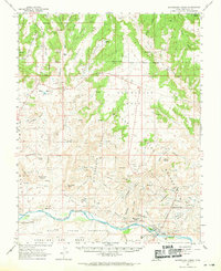
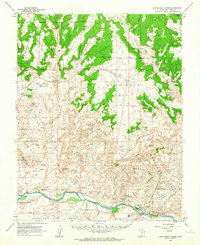
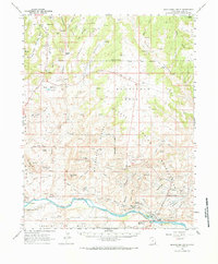
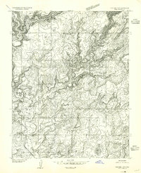
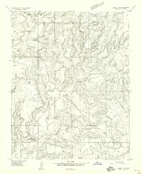
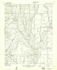
The Aneth Oil Field defines the industrial footprint along the San Juan River on this 1960s survey, revealing a landscape of pipelines, pumping stations, and oil wells that transformed the desert floor. This development sits in stark contrast to the ancient history recorded on the same sheet, including a Cliff Dwelling and the Seventeen Room Ruin near the riverbanks. The settlement of Fiddlers Green and the Montezuma Creek Sch anchor the local community within the Navajo Indian Reservation.
Find a feature on this map
51 named features on this map. Tap any name to fly to it.
Don’t see what you’re looking for? This feature index may not catch every label — zoom into the map to look around manually.
Map Details
Editions of this 1962 Montezuma Creek Map
3 editions found
Other maps of this area

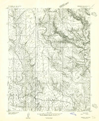
1886 · Abajo
USGS Topo · 1:250,000

1892 · Abajo
USGS Topo · 1:250,000

1893 · Abajo
USGS Topo · 1:250,000

1935 · Elk Ridge
USGS Topo · 1:96,000

1940 · Elk Ridge
USGS Topo · 1:125,000
1955 · Verdure 3 SE
USGS Topo · 1:24,000
1955 · Verdure 4 SW
USGS Topo · 1:24,000

1956 · Cortez
USGS Topo · 1:250,000
1957 · Aneth 1 NW
USGS Topo · 1:24,000
1957 · Elk Ridge 4 SE
USGS Topo · 1:24,000