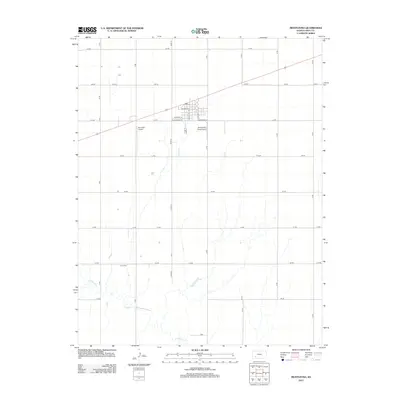
2012 Map of Montezuma
USGS Topo · Published 2012About this map
Montezuma sits at the center of this 2012 survey, anchored by its grid of residential and commercial streets such as W Cortez St and S Aztec St. The town's agricultural and logistical importance is underscored by the Montezuma Coop Airport and a central Po located just off of Highway 56. This corridor provides a vital link across the High Plains of Gray County, connecting local commerce with the surrounding farm tracts defined by a rigid section-line road system.
Find a feature on this map
29 named features on this map. Tap any name to fly to it.
Don’t see what you’re looking for? This feature index may not catch every label — zoom into the map to look around manually.
Map Details
Editions of this 2012 Montezuma Map
This is the sole edition of this map. No revisions or reprints were ever made.
Other maps of this area

1892 · Meade
USGS Topo · 1:125,000

1892 · Dodge
USGS Topo · 1:125,000

1896 · Garden
USGS Topo · 1:125,000

1955 · Dodge City
USGS Topo · 1:250,000

1958 · Dodge City
USGS Topo · 1:250,000

1959 · Dodge City
USGS Topo · 1:250,000

1967 · Plains NE
USGS Topo · 1:24,000

1968 · Montezuma
USGS Topo · 1:24,000

1968 · Montezuma NW
USGS Topo · 1:24,000
1968 · Meade NW
USGS Topo · 1:24,000