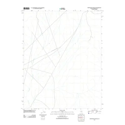
2011 Map of Montezuma Peak SE
USGS Topo · Published 2011About this map
Jackson Wash defines the drainage of this arid landscape in Esmeralda County, cutting a winding path across the high desert terrain. The map area is primarily undeveloped, serving as a corridor for travel and natural runoff through this portion of Nevada. The only major evidence of human infrastructure is the Silver Peak-Railroad Springs Rd, which provides a traversable route through the basin. This survey records the minimalist character of the region in the early 21st century, illustrating how sparse settlements and infrastructure were in this specific corner of the Great Basin.
Find a feature on this map
2 named features on this map. Tap any name to fly to it.
Don’t see what you’re looking for? This feature index may not catch every label — zoom into the map to look around manually.
Map Details
Editions of this 2011 Montezuma Peak SE Map
This is the sole edition of this map. No revisions or reprints were ever made.
Other maps of this area

1908 · Lida
USGS Topo · 1:250,000

1913 · Lida
USGS Topo · 1:250,000

1945 · Goldfield
USGS Topo · 1:125,000

1952 · Goldfield
USGS Topo · 1:62,500

1954 · Goldfield
USGS Topo · 1:250,000

1955 · Goldfield
USGS Topo · 1:250,000

1958 · Goldfield
USGS Topo · 1:250,000

1962 · Goldfield
USGS Topo · 1:250,000

1968 · Lida
USGS Topo · 1:24,000

1968 · Stonewall Pass
USGS Topo · 1:24,000