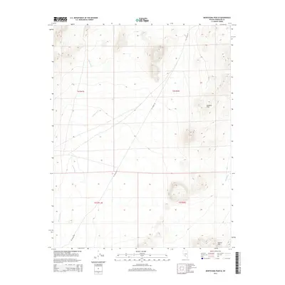
2014 Map of Montezuma Peak SE
USGS Topo · Published 2014About this map
Goldfield Hills rise across the northeastern portion of this Nevada landscape, transitioning into the dry alluvial basins of the high desert. The terrain is defined by the drainage patterns of Jackson Wash, which cuts a prominent path from the northwest toward the center of the sheet, and the smaller China Wash in the southeast. These ephemeral watercourses illustrate the desert hydrology of Esmeralda County, where seasonal runoff shapes the land between the high peaks and the southern Cuprite Hills. Human activity is primarily represented by the linear path of Mt Jackson Rd, a critical desert route that traverses the area, providing access through the public lands and section boundaries of this arid region.
Find a feature on this map
9 named features on this map. Tap any name to fly to it.
Don’t see what you’re looking for? This feature index may not catch every label — zoom into the map to look around manually.
Map Details
Editions of this 2014 Montezuma Peak SE Map
This is the sole edition of this map. No revisions or reprints were ever made.
Other maps of this area

1908 · Lida
USGS Topo · 1:250,000

1913 · Lida
USGS Topo · 1:250,000

1945 · Goldfield
USGS Topo · 1:125,000

1952 · Goldfield
USGS Topo · 1:62,500

1954 · Goldfield
USGS Topo · 1:250,000

1955 · Goldfield
USGS Topo · 1:250,000

1958 · Goldfield
USGS Topo · 1:250,000

1962 · Goldfield
USGS Topo · 1:250,000

1968 · Lida
USGS Topo · 1:24,000

1968 · Stonewall Pass
USGS Topo · 1:24,000