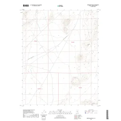
2018 Map of Montezuma Peak SE
USGS Topo · Published 2018About this map
Silver Peak - Railroad Springs Rd cuts across this high-desert landscape in Esmeralda County, marking a historic transportation corridor through the arid basin. The terrain is defined by the volcanic rises of the Goldfield Hills in the northeast and the Cuprite Hills to the southeast, separated by wide alluvial stretches. Water drainage patterns are traced by the seasonal paths of Jackson Wash and China Wash, which indicate the natural flow of runoff from the surrounding peaks. This 2018 survey illustrates the persistent isolation and rugged character of the Nevada desert, where land use is primarily defined by the Public Land Survey System grids of Township 4 and 5 South.
Find a feature on this map
9 named features on this map. Tap any name to fly to it.
Don’t see what you’re looking for? This feature index may not catch every label — zoom into the map to look around manually.
Map Details
Editions of this 2018 Montezuma Peak SE Map
This is the sole edition of this map. No revisions or reprints were ever made.
Other maps of this area

1908 · Lida
USGS Topo · 1:250,000

1913 · Lida
USGS Topo · 1:250,000

1945 · Goldfield
USGS Topo · 1:125,000

1952 · Goldfield
USGS Topo · 1:62,500

1954 · Goldfield
USGS Topo · 1:250,000

1955 · Goldfield
USGS Topo · 1:250,000

1958 · Goldfield
USGS Topo · 1:250,000

1962 · Goldfield
USGS Topo · 1:250,000

1968 · Lida
USGS Topo · 1:24,000

1968 · Stonewall Pass
USGS Topo · 1:24,000