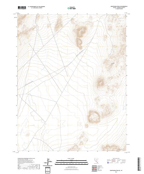
2021 Map of Montezuma Peak SE
USGS Topo · Published 2021About this map
The high-desert terrain of Esmeralda County unfolds across this 2021 survey, centered on the drainage networks and arid uplands of the Goldfield Hills. The landscape is defined by the prominent Silver Peak - Railroad Springs Rd, a primary corridor cutting diagonally across the basin floors. These lowlands are etched by seasonal waterways such as Jackson Wash and China Wash, which illustrate the natural drainage patterns that have shaped movement through this region since the early mining eras. To the southeast, the topography rises into the Cuprite Hills, marking the edge of a district long associated with Nevada's mineral exploration. The map provides a clear record of the modern public land survey system, showing the township and range divisions like t4s r42e that underpin property and mining claims in this desert environment.
Find a feature on this map
9 named features on this map. Tap any name to fly to it.
Don’t see what you’re looking for? This feature index may not catch every label — zoom into the map to look around manually.
Map Details
Editions of this 2021 Montezuma Peak SE Map
This is the sole edition of this map. No revisions or reprints were ever made.
Other maps of this area

1908 · Lida
USGS Topo · 1:250,000

1913 · Lida
USGS Topo · 1:250,000

1945 · Goldfield
USGS Topo · 1:125,000

1952 · Goldfield
USGS Topo · 1:62,500

1954 · Goldfield
USGS Topo · 1:250,000

1955 · Goldfield
USGS Topo · 1:250,000

1958 · Goldfield
USGS Topo · 1:250,000

1962 · Goldfield
USGS Topo · 1:250,000

1968 · Lida
USGS Topo · 1:24,000

1968 · Stonewall Pass
USGS Topo · 1:24,000