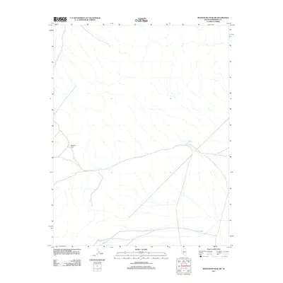
2011 Map of Montezuma Peak SW
USGS Topo · Published 2011About this map
Railroad Pass serves as a central geographic point in this high-desert region of Esmeralda County, where the desert floor is defined by a complex network of ephemeral drainages and intermittent water sources. The importance of reliable water in this arid environment is underscored by the mapping of Alida Spring, Railroad Spring, and Cedar Spring. These points of interest are linked by primitive roads and 4WD tracks that follow the natural contours of the terrain. The landscape is characteristic of the Great Basin, where isolated springs often dictated the placement of early ranching outposts and mineral exploration camps. The layout of these tracks through the pass suggests a historical reliance on these natural corridors for traversing the rugged interior between more established Nevada settlements.
Find a feature on this map
4 named features on this map. Tap any name to fly to it.
Don’t see what you’re looking for? This feature index may not catch every label — zoom into the map to look around manually.
Map Details
Editions of this 2011 Montezuma Peak SW Map
This is the sole edition of this map. No revisions or reprints were ever made.
Other maps of this area

1898 · Silver Peak
USGS Topo · 1:125,000

1900 · Silver Peak
USGS Topo · 1:125,000

1908 · Lida
USGS Topo · 1:250,000

1913 · Lida
USGS Topo · 1:250,000

1945 · Goldfield
USGS Topo · 1:125,000

1954 · Goldfield
USGS Topo · 1:250,000

1955 · Goldfield
USGS Topo · 1:250,000

1957 · Magruder Mtn
USGS Topo · 1:62,500

1958 · Goldfield
USGS Topo · 1:250,000

1962 · Goldfield
USGS Topo · 1:250,000