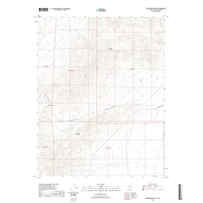
2018 Map of Montezuma Peak SW
USGS Topo · Published 2018About this map
Montezuma Range dominates the northern reaches of this high-altitude landscape in Esmeralda County, providing a stark topographical contrast to the Palmetto Mountains situated to the south. This area is defined by its critical water sources and historic transit corridors, notably at Railroad Pass. The presence of Railroad Spring, Alida Spring, and Cedar Spring suggests the vital role these points played in supporting travel and potentially early mining or ranching efforts in this arid environment. The primary artery through the terrain is the Silver Peak - Railroad Springs Rd, a route that follows the natural contours of the land to connect these isolated springs across the high desert floor.
Find a feature on this map
12 named features on this map. Tap any name to fly to it.
Don’t see what you’re looking for? This feature index may not catch every label — zoom into the map to look around manually.
Map Details
Editions of this 2018 Montezuma Peak SW Map
This is the sole edition of this map. No revisions or reprints were ever made.
Other maps of this area

1898 · Silver Peak
USGS Topo · 1:125,000

1900 · Silver Peak
USGS Topo · 1:125,000

1908 · Lida
USGS Topo · 1:250,000

1913 · Lida
USGS Topo · 1:250,000

1945 · Goldfield
USGS Topo · 1:125,000

1954 · Goldfield
USGS Topo · 1:250,000

1955 · Goldfield
USGS Topo · 1:250,000

1957 · Magruder Mtn
USGS Topo · 1:62,500

1958 · Goldfield
USGS Topo · 1:250,000

1962 · Goldfield
USGS Topo · 1:250,000