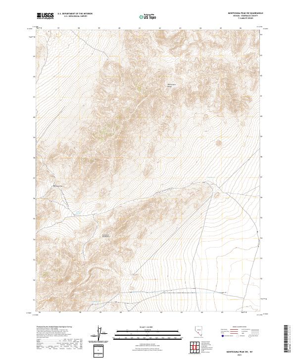
2021 Map of Montezuma Peak SW
USGS Topo · Published 2021About this map
Montezuma Range peaks dominate the northern horizon of this Esmeralda County landscape, giving way to the Palmetto Mountains in the south. This arid corridor in southwestern Nevada is defined by isolated water sources and high-elevation transit points. Vital hydrologic features like Alida Spring, Railroad Spring, and Cedar Spring provided necessary stops for travelers and prospectors navigating this high desert. The local transportation network is centered on the Silver Peak - Railroad Springs Rd, which snakes through the topography toward Railroad Pass. The map reveals a traditional Basin and Range pattern where development is sparse, and the landscape is primarily organized by natural terrain boundaries and historic backcountry routes.
Find a feature on this map
12 named features on this map. Tap any name to fly to it.
Don’t see what you’re looking for? This feature index may not catch every label — zoom into the map to look around manually.
Map Details
Editions of this 2021 Montezuma Peak SW Map
This is the sole edition of this map. No revisions or reprints were ever made.
Other maps of this area

1898 · Silver Peak
USGS Topo · 1:125,000

1900 · Silver Peak
USGS Topo · 1:125,000

1908 · Lida
USGS Topo · 1:250,000

1913 · Lida
USGS Topo · 1:250,000

1945 · Goldfield
USGS Topo · 1:125,000

1954 · Goldfield
USGS Topo · 1:250,000

1955 · Goldfield
USGS Topo · 1:250,000

1957 · Magruder Mtn
USGS Topo · 1:62,500

1958 · Goldfield
USGS Topo · 1:250,000

1962 · Goldfield
USGS Topo · 1:250,000