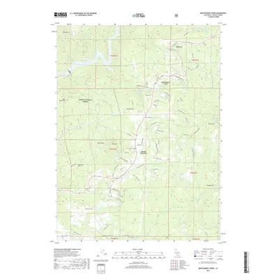
2018 Map of Montgomery Creek
USGS Topo · Published 2018About this map
Montgomery Creek and Hillcrest serve as the primary residential hubs in this northern Shasta County landscape, situated along the corridor of Big Bend Rd. The terrain is defined by dramatic elevation changes, notably the descent into the Pit River canyon where the Pit 7 Reservoir and the Pit 7 Powerhouse mark the industrial utilization of the waterway. These features represent the mid-century development of hydroelectric power that transformed the region's hydrology and economy.
Find a feature on this map
89 named features on this map. Tap any name to fly to it.
Don’t see what you’re looking for? This feature index may not catch every label — zoom into the map to look around manually.
Map Details
Editions of this 2018 Montgomery Creek Map
This is the sole edition of this map. No revisions or reprints were ever made.
Other maps of this area

1886 · Lassen Peak
USGS Topo · 1:250,000

1890 · Red Bluff
USGS Topo · 1:250,000

1892 · Lassen Peak
USGS Topo · 1:250,000

1894 · Lassen Peak
USGS Topo · 1:250,000

1894 · Red Bluff
USGS Topo · 1:250,000

1901 · Redding
USGS Topo · 1:125,000

1935 · Burney
USGS Topo · 1:96,000

1939 · Burney
USGS Topo · 1:125,000

1949 · Bollibokka Mtn
USGS Topo · 1:62,500

1953 · Millville
USGS Topo · 1:62,500