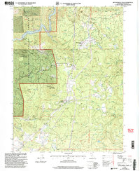
1998 Map of Montgomery Creek
USGS Topo · Published 2003About this map
The Montgomery Creek Rancheria and the settlement of Montgomery Creek serve as central points in this Shasta County landscape, documented during a period of USDA Forest Service revision in the late 1990s. The geography is defined by a complex network of water management and natural features, ranging from the northern Pit River Reservoir to the Carney Ditch and multiple aqueducts feeding into a local powerhouse. Family and community history is visible through landmarks such as the Halcumb Cemetery, Cedar Creek School, and the Mountain Sch. The terrain rises from the Pit river banks toward Hogback Mountain and Round Mountain, while the presence of a Mine Shaft and Gravel Pit indicates the area's geological and industrial utility. This survey captures a rural California community where forest boundaries and water rights intersect.
Find a feature on this map
50 named features on this map. Tap any name to fly to it.
Don’t see what you’re looking for? This feature index may not catch every label — zoom into the map to look around manually.
Map Details
Editions of this 1998 Montgomery Creek Map
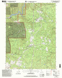
2 editions found
Other maps of this area

1886 · Lassen Peak
USGS Topo · 1:250,000

1890 · Red Bluff
USGS Topo · 1:250,000

1892 · Lassen Peak
USGS Topo · 1:250,000

1894 · Lassen Peak
USGS Topo · 1:250,000

1894 · Red Bluff
USGS Topo · 1:250,000

1901 · Redding
USGS Topo · 1:125,000

1935 · Burney
USGS Topo · 1:96,000

1939 · Burney
USGS Topo · 1:125,000

1949 · Bollibokka Mtn
USGS Topo · 1:62,500

1953 · Millville
USGS Topo · 1:62,500