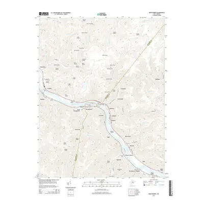
2014 Map of Montgomery
USGS Topo · Published 2014About this map
The Kanawha River serves as the central artery of this industrial landscape, where steep topography forces development into narrow corridors along the water. The city of Montgomery and its neighbor Smithers are connected by the Earl M Vickers Bridge, forming an urban hub surrounded by coal-country hollows and ridges. Numerous small settlements like Crescent, Eagle, and London line the riverbanks, illustrating the dense habitation patterns required by the local terrain. Higher elevations are marked by distinctive landmarks such as Armstrong Mtn and a series of family-named hollows including Martin Hollow and Heslop Hollow. This 2014 survey documents the complex transportation network of Us-60 and WV-61 that navigates the winding river valley. Cultural history is preserved in sites like the Montgomery Memorial Cem and Mt Carbon Cem, providing valuable points of reference for local researchers.
Find a feature on this map
97 named features on this map. Tap any name to fly to it.
Don’t see what you’re looking for? This feature index may not catch every label — zoom into the map to look around manually.
Map Details
Editions of this 2014 Montgomery Map
This is the sole edition of this map. No revisions or reprints were ever made.
Other maps of this area

1897 · Kanawha Falls
USGS Topo · 1:125,000

1900 · Kanawha Falls
USGS Topo · 1:125,000

1901 · Kanawha Falls
USGS Topo · 1:125,000

1907 · Clendenin
USGS Topo · 1:62,500

1908 · Clay
USGS Topo · 1:48,000

1908 · Fayetteville
USGS Topo · 1:48,000

1908 · Montgomery
USGS Topo · 1:48,000

1909 · Clendenin
USGS Topo · 1:62,500

1910 · Clay
USGS Topo · 1:62,500

1910 · Fayetteville
USGS Topo · 1:62,500