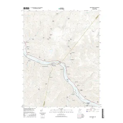
2016 Map of Montgomery
USGS Topo · Published 2016About this map
The Kanawha River corridors define this portion of the Kanawha Valley, where a dense sequence of industrial and residential river towns lines the banks. Settlements such as Montgomery, Smithers, London, and Boomer follow the narrow flatlands between the water and the steep Appalachian ridges. The map illustrates the region's complex infrastructure, from the Earl M Vickers Bridge connecting Montgomery to Smithers, to the path of the Midland Trl winding through Alloy and Falls View.
Find a feature on this map
96 named features on this map. Tap any name to fly to it.
Don’t see what you’re looking for? This feature index may not catch every label — zoom into the map to look around manually.
Map Details
Editions of this 2016 Montgomery Map
This is the sole edition of this map. No revisions or reprints were ever made.
Other maps of this area

1897 · Kanawha Falls
USGS Topo · 1:125,000

1900 · Kanawha Falls
USGS Topo · 1:125,000

1901 · Kanawha Falls
USGS Topo · 1:125,000

1907 · Clendenin
USGS Topo · 1:62,500

1908 · Clay
USGS Topo · 1:48,000

1908 · Fayetteville
USGS Topo · 1:48,000

1908 · Montgomery
USGS Topo · 1:48,000

1909 · Clendenin
USGS Topo · 1:62,500

1910 · Clay
USGS Topo · 1:62,500

1910 · Fayetteville
USGS Topo · 1:62,500