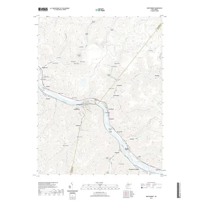
2019 Map of Montgomery
USGS Topo · Published 2019About this map
The Kanawha River serves as the central artery for this region of West Virginia, where industrial and residential life follows the narrow valley floor between steep ridges. The river is spanned here by the Earl M Vickers Bridge, connecting Montgomery and Smithers. This area is characterized by a dense succession of river towns and settlements including London, Handley, Crescent, Longacre, and Alloy. The geography is defined by numerous hollows—such as Dark Hollow, Burnett Hollow, and Custer Hollow—which have historically provided access into the uplands from the main corridor. Genealogists and local historians can find several established burial grounds including Montgomery Memorial Cem and Mount Carbon Cem, while the industrial landscape is reflected in the heavy rail and road infrastructure of the Midland Trl and various county routes that navigate the complex terrain of Armstrong Mtn.
Find a feature on this map
100 named features on this map. Tap any name to fly to it.
Don’t see what you’re looking for? This feature index may not catch every label — zoom into the map to look around manually.
Map Details
Editions of this 2019 Montgomery Map
This is the sole edition of this map. No revisions or reprints were ever made.
Other maps of this area

1897 · Kanawha Falls
USGS Topo · 1:125,000

1900 · Kanawha Falls
USGS Topo · 1:125,000

1901 · Kanawha Falls
USGS Topo · 1:125,000

1907 · Clendenin
USGS Topo · 1:62,500

1908 · Clay
USGS Topo · 1:48,000

1908 · Fayetteville
USGS Topo · 1:48,000

1908 · Montgomery
USGS Topo · 1:48,000

1909 · Clendenin
USGS Topo · 1:62,500

1910 · Clay
USGS Topo · 1:62,500

1910 · Fayetteville
USGS Topo · 1:62,500