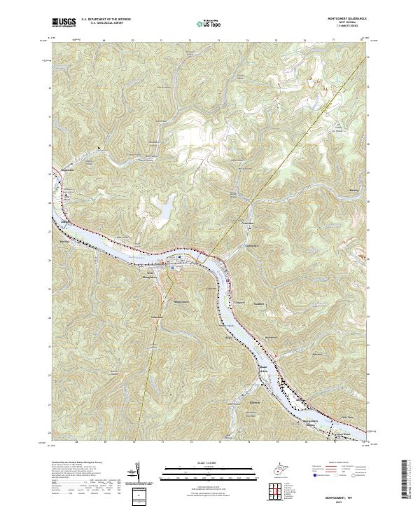
2023 Map of Montgomery
USGS Topo · Published 2023About this map
The Kanawha River serves as the central artery for a dense network of industrial and residential settlements along the Kanawha and Fayette County line. This modern topographic study reveals the tight geographical constraints of the region, where communities like Montgomery, Smithers, and London are clustered along the riverbanks and narrow valley floors. Steep ridges and named hollows, such as Graveyard Hollow and Dark Hollow, rise sharply from the water's edge, illustrating the topographic isolation of historical coal and transport hubs.
Find a feature on this map
99 named features on this map. Tap any name to fly to it.
Don’t see what you’re looking for? This feature index may not catch every label — zoom into the map to look around manually.
Map Details
Editions of this 2023 Montgomery Map
This is the sole edition of this map. No revisions or reprints were ever made.
Other maps of this area

1897 · Kanawha Falls
USGS Topo · 1:125,000

1900 · Kanawha Falls
USGS Topo · 1:125,000

1901 · Kanawha Falls
USGS Topo · 1:125,000

1907 · Clendenin
USGS Topo · 1:62,500

1908 · Clay
USGS Topo · 1:48,000

1908 · Fayetteville
USGS Topo · 1:48,000

1908 · Montgomery
USGS Topo · 1:48,000

1909 · Clendenin
USGS Topo · 1:62,500

1910 · Clay
USGS Topo · 1:62,500

1910 · Fayetteville
USGS Topo · 1:62,500