
1910 Map of Montgomery
USGS Topo · Published 1910About this map
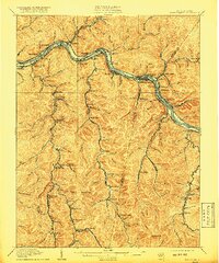
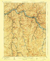
The Kanawha River serves as the industrial spine for this coal-country landscape at the turn of the century, where the Chesapeake and Ohio railroad tracks hug the riverbank to connect a dense string of mining and river towns. Settlements like Coalburg, Eastbank, and Cedar Grove are clustered along the water, while specialized rail hubs such as Paint Creek Junction and Cabin Creek Junction mark the entrance points to the hollows where resource extraction dominated the local economy.
Find a feature on this map
132 named features on this map. Tap any name to fly to it.
Don’t see what you’re looking for? This feature index may not catch every label — zoom into the map to look around manually.
Map Details
Editions of this 1910 Montgomery Map
3 editions found
Other maps of this area

1891 · Oceana
USGS Topo · 1:125,000

1891 · Raleigh
USGS Topo · 1:125,000

1893 · Oceana
USGS Topo · 1:125,000

1897 · Kanawha Falls
USGS Topo · 1:125,000

1897 · Raleigh
USGS Topo · 1:125,000

1898 · Oceana
USGS Topo · 1:125,000

1899 · Charleston
USGS Topo · 1:125,000

1900 · Kanawha Falls
USGS Topo · 1:125,000

1901 · Kanawha Falls
USGS Topo · 1:125,000

1902 · Raleigh
USGS Topo · 1:125,000