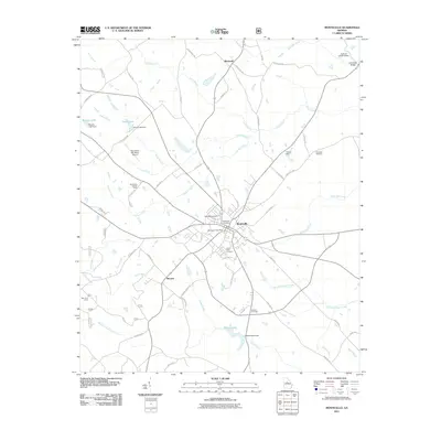
2011 Map of Monticello
USGS Topo · Published 2011About this map
Monticello serves as the central hub of this Jasper County landscape, where a dense network of local roads like Blue Ruin St and Spruce St converge near the Monticello Post Office. The town is surrounded by several historical burial grounds, including Monticello Cemetery, West View Cemetery, and South View Cemetery, providing significant points of interest for genealogical research. To the north, the settlement of Blackwell sits near the headwaters of Blackwell Creek, while Minneta occupies the southwest near Lloyd Branch.
Find a feature on this map
61 named features on this map. Tap any name to fly to it.
Don’t see what you’re looking for? This feature index may not catch every label — zoom into the map to look around manually.
Map Details
Editions of this 2011 Monticello Map
This is the sole edition of this map. No revisions or reprints were ever made.
Other maps of this area

1951 · Forsyth
USGS Topo · 1:62,500

1953 · Athens
USGS Topo · 1:250,000

1958 · Athens
USGS Topo · 1:250,000

1959 · Athens
USGS Topo · 1:250,000

1963 · Athens
USGS Topo · 1:250,000

1964 · Lloyd Shoals Dam
USGS Topo · 1:24,000

1964 · Stewart
USGS Topo · 1:24,000

1964 · Stanfordville
USGS Topo · 1:24,000

1964 · Hillsboro
USGS Topo · 1:24,000

1972 · Monticello
USGS Topo · 1:24,000