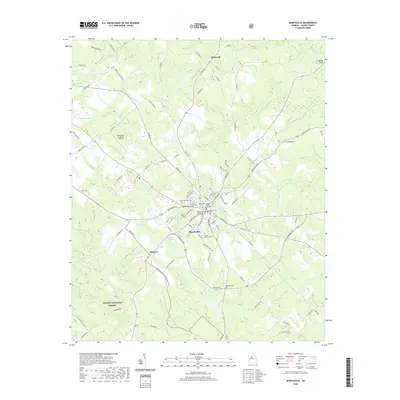
2020 Map of Monticello
USGS Topo · Published 2020About this map
Monticello serves as a central hub in Jasper County, where the historic Jasper County Courthouse and Monticello Methodist Church anchor the town’s established street grid. The surrounding landscape is defined by the headwaters of numerous creeks, including Murder Creek and White Oak Cr, which drain the undulating terrain southeast of the Monticello Sky Ranch Airport. To the southwest, the boundary of the Oconee National Forest meets a network of country roads such as Champion Rd and Seven Island Rd.
Find a feature on this map
104 named features on this map. Tap any name to fly to it.
Don’t see what you’re looking for? This feature index may not catch every label — zoom into the map to look around manually.
Map Details
Editions of this 2020 Monticello Map
This is the sole edition of this map. No revisions or reprints were ever made.
Other maps of this area

1951 · Forsyth
USGS Topo · 1:62,500

1953 · Athens
USGS Topo · 1:250,000

1958 · Athens
USGS Topo · 1:250,000

1959 · Athens
USGS Topo · 1:250,000

1963 · Athens
USGS Topo · 1:250,000

1964 · Lloyd Shoals Dam
USGS Topo · 1:24,000

1964 · Stewart
USGS Topo · 1:24,000

1964 · Stanfordville
USGS Topo · 1:24,000

1964 · Hillsboro
USGS Topo · 1:24,000

1972 · Monticello
USGS Topo · 1:24,000