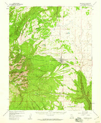
1957 Map of Monticello
USGS Topo · Published 1960About this map
The high-altitude peaks of the Manti-La Sal National Forest dominate this mid-century survey, rising sharply to the west of Monticello. This San Juan County seat is depicted just before its uranium-boom era expansion, showing local infrastructure like the Baker Ranger Sta, a Substation, and the town Racetrack. Mining activity is evident in the Abajo Mountains, where the Gold Queen Mine and the Dream Mine Main Tunnel sit high above Gold Queen Basin. The landscape is a network of water management and livestock ranching, indicated by the Blue Mtn Ranch, the Gordon Reservoir, and various springs like Peters Spring and Taylor Spring. A series of canyons and points, including Montezuma Canyon and Dodge Point, define the drainage patterns where the highlands meet the plateau.
Find a feature on this map
62 named features on this map. Tap any name to fly to it.
Don’t see what you’re looking for? This feature index may not catch every label — zoom into the map to look around manually.
Map Details
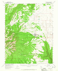
Editions of this 1957 Monticello Map
2 editions found
Other maps of this area

1885 · La Sal
USGS Topo · 1:250,000

1886 · Abajo
USGS Topo · 1:250,000

1892 · Abajo
USGS Topo · 1:250,000

1893 · Abajo
USGS Topo · 1:250,000

1935 · Elk Ridge
USGS Topo · 1:96,000

1940 · Elk Ridge
USGS Topo · 1:125,000

1954 · Elk Ridge 1 NE
USGS Topo · 1:24,000

1954 · Elk Ridge 1 SE
USGS Topo · 1:24,000

1954 · Mt Peale 3 SW
USGS Topo · 1:24,000

1954 · Mt Peale 3 SE
USGS Topo · 1:24,000