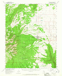
1957 Map of Monticello
USGS Topo · Published 1965About this map
Monticello serves as the focal point of this mid-century survey, positioned at the foot of the Abajo Mountains within the Manti-La Sal National Forest. The map captures a high-altitude landscape defined by peaks such as Abajo Peak and South Peak, where mining activity is evidenced by the Gold Queen Mine and the Dream Mine. The settlement at Verdure sits to the south along Verdure Creek, while the Blue Mtn Pipeline and Baker Ranger Sta indicate the managed water and forestry infrastructure of the era. To the west, the terrain drops into significant drainages like Harts Draw and Johnson Creek. The inclusion of the Landing Strip and Jeep Trail labels highlights the evolving transportation network used for resource extraction and forest management in this part of San Juan County.
Find a feature on this map
67 named features on this map. Tap any name to fly to it.
Don’t see what you’re looking for? This feature index may not catch every label — zoom into the map to look around manually.
Map Details
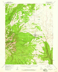
Editions of this 1957 Monticello Map
2 editions found
Other maps of this area

1885 · La Sal
USGS Topo · 1:250,000

1886 · Abajo
USGS Topo · 1:250,000

1892 · Abajo
USGS Topo · 1:250,000

1893 · Abajo
USGS Topo · 1:250,000

1935 · Elk Ridge
USGS Topo · 1:96,000

1940 · Elk Ridge
USGS Topo · 1:125,000

1954 · Elk Ridge 1 NE
USGS Topo · 1:24,000

1954 · Elk Ridge 1 SE
USGS Topo · 1:24,000

1954 · Mt Peale 3 SW
USGS Topo · 1:24,000

1954 · Mt Peale 3 SE
USGS Topo · 1:24,000