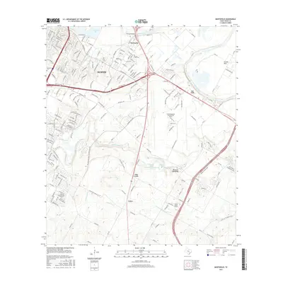
2016 Map of Montopolis
USGS Topo · Published 2016About this map
Austin's southeastern edge is defined by the winding course of the Colorado River and a transition from dense urban neighborhoods to the expansive infrastructure and rural crossroads of Travis County. Significant transportation corridors like E Ben White Blvd and E Riverside Dr bridge the city with suburban reaches, while the massive footprint of Austin-Bergstrom International Airport dominates the central landscape. The river creates a natural boundary marked by the Montopolis Bridge and Hornsby Bend, anchoring a geography that balances modern aviation needs with historic landholdings.
Find a feature on this map
193 named features on this map. Tap any name to fly to it.
Don’t see what you’re looking for? This feature index may not catch every label — zoom into the map to look around manually.
Map Details
Editions of this 2016 Montopolis Map
This is the sole edition of this map. No revisions or reprints were ever made.
Other maps of this area

1896 · Austin
USGS Topo · 1:125,000

1897 · Austin
USGS Topo · 1:125,000

1910 · Austin
USGS Topo · 1:125,000

1932 · Mt. Bonnell
USGS Topo · 1:62,500

1954 · Austin East
USGS Topo · 1:24,000

1954 · Austin West
USGS Topo · 1:24,000

1954 · Austin
USGS Topo · 1:250,000

1955 · Montopolis
USGS Topo · 1:24,000

1955 · Oak Hill
USGS Topo · 1:24,000

1955 · Montopolis
USGS Topo · 1:62,500