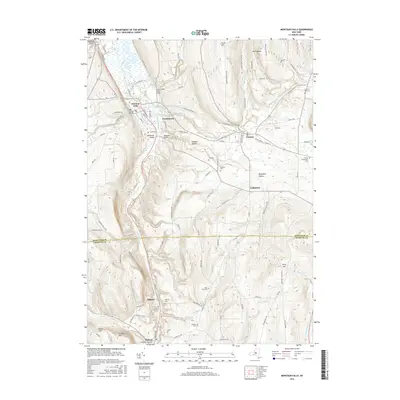
2016 Map of Montour Falls
USGS Topo · Published 2016About this map
Montour Falls serves as a focal point for this survey, where the Catharine Creek valley transitions into the steep terrain of the Finger Lakes region. The landscape is defined by its dramatic hydrology, notably where Shequaga Cr and L'Hommedieu Cr descent toward the valley floor, creating landmarks like Aunt Sarahs Falls and Shequaga Falls. The map reveals a high density of small family and community burial grounds, including Saint John Cem, North Settlement Cem, and Parsons Cem, which are scattered along the ridges and hollows that define local geography. From the village of Odessa to the southern settlement of Millport, the network of roads like Cotton Hanlon Rd and Rock Cabin Rd follows the natural contours of the glaciated terrain, linking the upland farms to the industrial and transport hubs on the valley floor.
Find a feature on this map
107 named features on this map. Tap any name to fly to it.
Don’t see what you’re looking for? This feature index may not catch every label — zoom into the map to look around manually.
Map Details
Editions of this 2016 Montour Falls Map
This is the sole edition of this map. No revisions or reprints were ever made.
Other maps of this area

1893 · Ithaca
USGS Topo · 1:62,500

1895 · Ithaca
USGS Topo · 1:62,500

1895 · Elmira
USGS Topo · 1:62,500

1898 · Watkins Glen
USGS Topo · 1:62,500

1901 · Watkins
USGS Topo · 1:62,500

1902 · Waverly
USGS Topo · 1:62,500

1905 · Watkins Glen
USGS Topo · 1:125,000

1950 · Elmira
USGS Topo · 1:250,000

1950 · Alpine
USGS Topo · 1:24,000
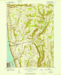
1950 · Burdett
USGS Topo · 1:24,000