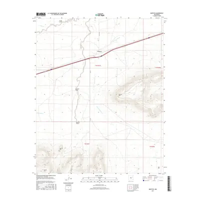
2017 Map of Montoya
USGS Topo · Published 2017About this map
Montoya serves as the central hub of this Quay County landscape, situated where major transportation corridors intersect the drainage basins of the Canadian River valley. The terrain is defined by dramatic escarpments and high ground, including the broad expanse of Palomas Mesa and the prominent Captivas Peak to the southwest. These geological formations are dissected by numerous seasonal waterways such as Arroyo de las Palomas and Bull Canyon Cr, which have carved deep recesses like Sunflower Canyon and Ortega Canyon into the plateau. The survey captures the transition from the flatlands of Ogle Flat in the southeast to the elevated reaches of Luciano Mesa. This area reflects the traditional ranching and transit-oriented development of eastern New Mexico, with land divisions like Quay Bk marking the rural road network that connects these disparate topographic features.
Find a feature on this map
19 named features on this map. Tap any name to fly to it.
Don’t see what you’re looking for? This feature index may not catch every label — zoom into the map to look around manually.
Map Details
Editions of this 2017 Montoya Map
This is the sole edition of this map. No revisions or reprints were ever made.
Other maps of this area

1930 · Tucumcari
USGS Topo · 1:125,000

1954 · Santa Fe
USGS Topo · 1:250,000

1954 · Fort Sumner
USGS Topo · 1:250,000

1954 · Tucumcari
USGS Topo · 1:250,000

1954 · Clovis
USGS Topo · 1:250,000

1958 · Fort Sumner
USGS Topo · 1:250,000

1958 · Santa Fe
USGS Topo · 1:250,000

1958 · Clovis
USGS Topo · 1:250,000

1958 · Tucumcari
USGS Topo · 1:250,000

1964 · Muniz Canyon
USGS Topo · 1:24,000