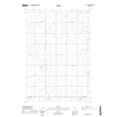
2020 Map of Montpelier NW
USGS Topo · Published 2020About this map
Beaver Creek and its tributary Beaver Cr wind through the northern sections of this prairie landscape, defining the local hydrology of southeastern North Dakota. The terrain is characterized by numerous small prairie potholes and wetlands that lie between the section-line roads, such as 54th St SE and 87th Ave SE. This survey reflects the enduring grid-based agricultural layout of the region, where the county line between Stutsman Co and LaMoure Co runs along the southern edge of the map. Modern aviation infrastructure is represented by the Liechty Farm Airport in the eastern portion of the quadrangle, illustrating the importance of private airfields in maintaining connectivity across the expansive farmland of the Great Plains.
Find a feature on this map
27 named features on this map. Tap any name to fly to it.
Don’t see what you’re looking for? This feature index may not catch every label — zoom into the map to look around manually.
Map Details
Editions of this 2020 Montpelier NW Map
This is the sole edition of this map. No revisions or reprints were ever made.
Other maps of this area

1896 · Jamestown
USGS Topo · 1:125,000

1951 · Eldridge SE
USGS Topo · 1:24,000

1952 · Homer
USGS Topo · 1:24,000

1952 · Ypsilanti
USGS Topo · 1:24,000

1953 · Jamestown
USGS Topo · 1:250,000

1953 · Montpelier
USGS Topo · 1:24,000

1953 · Montpelier NW
USGS Topo · 1:24,000

1953 · Adrian
USGS Topo · 1:24,000

1953 · Millarton
USGS Topo · 1:24,000

1953 · Nortonville
USGS Topo · 1:24,000