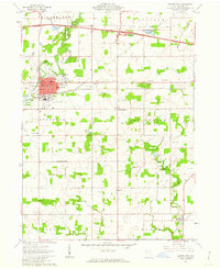
1961 Map of Montpelier
USGS Topo · Published 1963About this map
The St Joseph River defines the western reaches of this corner of Williams County, while the industrial and residential grid of Montpelier serves as the local hub. In the early 1960s, the landscape reflected a transition from traditional agricultural life to modern infrastructure, evidenced by the path of the Ohio Toll Road and Ohio Turnpike cutting across the northern sections. This era of expansion is further highlighted by the presence of the Montpelier Airport and a Drive-in Theater just east of the village center.
Find a feature on this map
40 named features on this map. Tap any name to fly to it.
Don’t see what you’re looking for? This feature index may not catch every label — zoom into the map to look around manually.
Map Details
Editions of this 1961 Montpelier Map
2 editions found
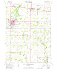
Other maps of this area

1907 · Defiance
USGS Topo · 1:62,500

1909 · Defiance
USGS Topo · 1:62,500

1913 · Alvordton
USGS Topo · 1:62,500

1914 · Pioneer
USGS Topo · 1:62,500

1914 · Bryan
USGS Topo · 1:62,500

1943 · Bryan
USGS Topo · 1:62,500

1944 · Pioneer
USGS Topo · 1:62,500

1944 · Alvordton
USGS Topo · 1:62,500

1953 · Fort Wayne
USGS Topo · 1:250,000

1956 · Fort Wayne
USGS Topo · 1:250,000