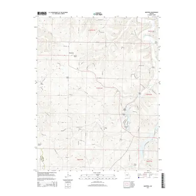
2015 Map of Montreal
USGS Topo · Published 2015About this map
Montreal and the small community of Wet Glaize anchor this Ozark landscape, which is defined by a dense network of hollows and seasonal drainages. The area's history is written in its many family and community burial grounds, including the Brown Cemetery, Campground Cemetery, and Knight Cemetery. This 2015 study shows the persistent rural character of Camden and Laclede Counties, where the terrain is dissected by Wet Glaize Cr and Mill Cr. The map's labeling reveals a deeply personal geography, where roads like Mary Kay Dr, Michael Rd, and Wilham Ln suggest generations of local landholding. Named terrain features such as Barnett Hollow, Pettijohn Hollow, and Rocky Hollow illustrate how the population has traditionally settled within the contours of the limestone-heavy plateau.
Find a feature on this map
79 named features on this map. Tap any name to fly to it.
Don’t see what you’re looking for? This feature index may not catch every label — zoom into the map to look around manually.
Map Details
Editions of this 2015 Montreal Map
This is the sole edition of this map. No revisions or reprints were ever made.
Other maps of this area

1888 · Versailles
USGS Topo · 1:125,000

1888 · Tuscumbia
USGS Topo · 1:125,000

1893 · Versailles
USGS Topo · 1:125,000

1894 · Tuscumbia
USGS Topo · 1:125,000

1932 · Versailles No 4
USGS Topo · 1:48,000

1933 · Stoutland
USGS Topo · 1:62,500

1933 · Iberia
USGS Topo · 1:62,500

1934 · Camdenton
USGS Topo · 1:24,000

1934 · Toronto
USGS Topo · 1:24,000

1937 · Iberia
USGS Topo · 1:62,500