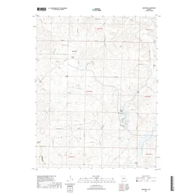
2017 Map of Montreal
USGS Topo · Published 2017About this map
The settlement of Montreal serves as a central point in this Camden County landscape, situated amidst the complex terrain of the Ozark Plateau. The geography is defined by a dense network of valleys such as Barnett Hollow, Sellers Hollow, and Traw Hollow, which channel local waterways toward the larger Wet Glaize Cr. This 2017 survey reveals a deeply rooted rural community, marked by numerous small family or community burial grounds including Dodson Cem, Sharp Cem, and Knight Cem. The presence of Wet Glaize and its surrounding hollows suggests a long history of dispersed upland settlement, where roads like State Hwy BB and Sharp Rd follow the natural ridges. Geologists and local historians can trace the intricate drainage patterns of Mill Cr and Sellars Cr as they navigate the varied elevations of the quadrangle.
Find a feature on this map
77 named features on this map. Tap any name to fly to it.
Don’t see what you’re looking for? This feature index may not catch every label — zoom into the map to look around manually.
Map Details
Editions of this 2017 Montreal Map
This is the sole edition of this map. No revisions or reprints were ever made.
Other maps of this area

1888 · Versailles
USGS Topo · 1:125,000

1888 · Tuscumbia
USGS Topo · 1:125,000

1893 · Versailles
USGS Topo · 1:125,000

1894 · Tuscumbia
USGS Topo · 1:125,000

1932 · Versailles No 4
USGS Topo · 1:48,000

1933 · Stoutland
USGS Topo · 1:62,500

1933 · Iberia
USGS Topo · 1:62,500

1934 · Camdenton
USGS Topo · 1:24,000

1934 · Toronto
USGS Topo · 1:24,000

1937 · Iberia
USGS Topo · 1:62,500