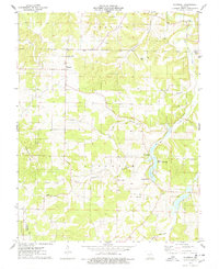
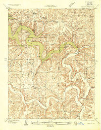
1976 Map of Montreal
USGS Topo · Published 1978About this map
Montreal and Garman anchor this mid-1970s landscape where the borders of Jackson and Auglaize townships meet. The terrain is deeply defined by the drainage of Wet Glaize Creek, which is fed by numerous hollows including Barnett Hollow, Davis Hollow, and Traw Hollow. This area reflects a long-established rural community, evidenced by the high density of family and community burial grounds such as Sharp Cem, Brown Cem, Hammer Cem, and Knight Cem. The map reveals the local intersection of faith and agriculture, with Buffalo Prairie Ch and High Point Ch serving as landmarks. A notable industrial presence is found along the creek at the Ozark Fish Hatcheries and an additional Fish Hatchery further downstream, indicating the importance of water resources to the local economy during this era.
Find a feature on this map
26 named features on this map. Tap any name to fly to it.
Don’t see what you’re looking for? This feature index may not catch every label — zoom into the map to look around manually.
Map Details
Editions of this 1976 Montreal Map
This is the sole edition of this map. No revisions or reprints were ever made.
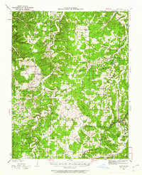
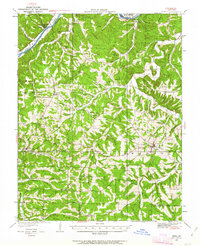
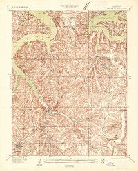
Other maps of this area

1888 · Versailles
USGS Topo · 1:125,000

1888 · Tuscumbia
USGS Topo · 1:125,000

1893 · Versailles
USGS Topo · 1:125,000

1894 · Tuscumbia
USGS Topo · 1:125,000

1932 · Versailles No 4
USGS Topo · 1:48,000
1933 · Stoutland
USGS Topo · 1:62,500
1933 · Iberia
USGS Topo · 1:62,500
1934 · Camdenton
USGS Topo · 1:24,000
1934 · Toronto
USGS Topo · 1:24,000
1937 · Iberia
USGS Topo · 1:62,500