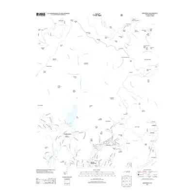
2013 Map of Montreat
USGS Topo · Published 2013About this map
Black Mountain and the high peaks of the Blue Ridge define this landscape at the headwaters of the North Fork Swannanoa River. The community of Montreat is prominently detailed, showing its concentration of streets near the Montreat Reservoir and the winding course of Flat Creek. To the west, the expansive North Fork Reservoir serves as a significant hydrologic feature, while the Blue Ridge Parkway traces the high eastern ridgeline, passing iconic summits like Clingmans Peak and Mount Gibbes.
Find a feature on this map
187 named features on this map. Tap any name to fly to it.
Don’t see what you’re looking for? This feature index may not catch every label — zoom into the map to look around manually.
Map Details
Editions of this 2013 Montreat Map
This is the sole edition of this map. No revisions or reprints were ever made.
Other maps of this area

1900 · Mount Mitchell
USGS Topo · 1:125,000

1902 · Mount Mitchell
USGS Topo · 1:125,000

1934 · Parts Of Celo And Black Brothers
USGS Topo · 1:24,000

1934 · Parts Of Old Fort and Montreat
USGS Topo · 1:24,000

1935 · Montreat
USGS Topo · 1:24,000

1935 · Black Brothers
USGS Topo · 1:24,000

1935 · Black Mountain
USGS Topo · 1:24,000

1935 · Barnardsville
USGS Topo · 1:24,000

1935 · Craggy Pinnacle
USGS Topo · 1:24,000

1941 · Black Mountain
USGS Topo · 1:24,000