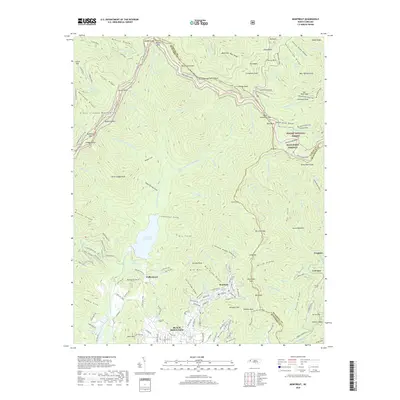
2019 Map of Montreat
USGS Topo · Published 2019About this map
Montreat sits at the foot of the southern Appalachian high peaks, serving as a focal point for this 2019 survey of the Blue Ridge front. The landscape is defined by its deep coves and prominent ridges, including Big Cove and Chestnut Cove, which drain into the North Fork Reservoir. This reservoir is a critical water source for the region, fed by the North Fork Swannanoa River. The settlement of Black Mountain occupies the southern valley, while the northern reaches are dominated by the Pisgah National Forest and the Great Craggy Mountains.
Find a feature on this map
176 named features on this map. Tap any name to fly to it.
Don’t see what you’re looking for? This feature index may not catch every label — zoom into the map to look around manually.
Map Details
Editions of this 2019 Montreat Map
This is the sole edition of this map. No revisions or reprints were ever made.
Other maps of this area

1900 · Mount Mitchell
USGS Topo · 1:125,000

1902 · Mount Mitchell
USGS Topo · 1:125,000

1934 · Parts Of Celo And Black Brothers
USGS Topo · 1:24,000

1934 · Parts Of Old Fort and Montreat
USGS Topo · 1:24,000

1935 · Montreat
USGS Topo · 1:24,000

1935 · Black Brothers
USGS Topo · 1:24,000

1935 · Black Mountain
USGS Topo · 1:24,000

1935 · Barnardsville
USGS Topo · 1:24,000

1935 · Craggy Pinnacle
USGS Topo · 1:24,000

1941 · Black Mountain
USGS Topo · 1:24,000