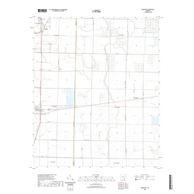
2020 Map of Montrose
USGS Topo · Published 2020About this map
Montrose serves as the primary hub in this corner of Ashley County, where local streets like W Walnut St and E Main St meet the regional transport corridors. The landscape is defined by an intricate network of waterways that dictate the placement of rural settlements and agricultural land. Significant drainage systems including Big Bayou, Crooked Bayou, and the Old Boeuf River meander through the territory, creating a complex patchwork of wetlands and low-lying ground. Small communities and family landmarks are scattered throughout, including Boydell to the north and Cosgrove to the east. For those tracing local heritage, the map identifies several significant burial sites such as Evergreen Cem, Union Cem, and Shady Grove Cem, which remain as fixed points of history in this changing Delta environment.
Find a feature on this map
47 named features on this map. Tap any name to fly to it.
Don’t see what you’re looking for? This feature index may not catch every label — zoom into the map to look around manually.
Map Details
Editions of this 2020 Montrose Map
This is the sole edition of this map. No revisions or reprints were ever made.
Other maps of this area

1935 · Mist
USGS Topo · 1:62,500

1935 · Wilmot
USGS Topo · 1:62,500

1936 · Eudora
USGS Topo · 1:62,500

1936 · Lake Village
USGS Topo · 1:62,500

1953 · Greenwood
USGS Topo · 1:250,000

1955 · Lake Village
USGS Topo · 1:62,500

1956 · Greenwood
USGS Topo · 1:250,000

1957 · Eudora
USGS Topo · 1:62,500

1960 · Snyder
USGS Topo · 1:24,000

1960 · Mist
USGS Topo · 1:62,500