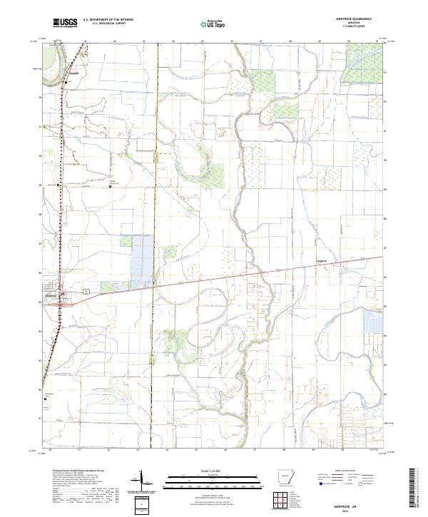
2024 Map of Montrose
USGS Topo · Published 2024About this map
Montrose serves as the central hub of this Delta landscape, where the flat agricultural terrain is defined by the winding course of Bayou Bartholomew and its many offshoots. The map documents a rural network of farm-to-market roads and drainage systems essential to this corner of Southeast Arkansas. Smaller settlements like Boydell in the northwest and Cosgrove to the east provide local orientation, while the presence of several family and community burial grounds, such as Shady Grove Cem, Evergreen Cem, and Providence Cem, offers significant data for genealogical research. The complex hydrology of the area is evident in the many named waterways, including Bear Bayou, Wards Bayou, and the Old Boeuf River. This survey illustrates the modern configuration of the border between Ashley and Chicot counties, showing how historic watercourses like Crooked Bayou and Big Bayou continue to influence land divisions and road placement.
Find a feature on this map
49 named features on this map. Tap any name to fly to it.
Don’t see what you’re looking for? This feature index may not catch every label — zoom into the map to look around manually.
Map Details
Editions of this 2024 Montrose Map
This is the sole edition of this map. No revisions or reprints were ever made.
Other maps of this area

1935 · Mist
USGS Topo · 1:62,500

1935 · Wilmot
USGS Topo · 1:62,500

1936 · Eudora
USGS Topo · 1:62,500

1936 · Lake Village
USGS Topo · 1:62,500

1953 · Greenwood
USGS Topo · 1:250,000

1955 · Lake Village
USGS Topo · 1:62,500

1956 · Greenwood
USGS Topo · 1:250,000

1957 · Eudora
USGS Topo · 1:62,500

1960 · Snyder
USGS Topo · 1:24,000

1960 · Mist
USGS Topo · 1:62,500