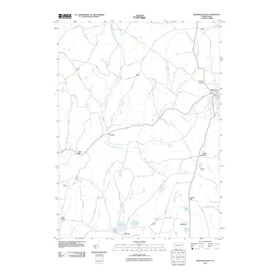
2010 Map of Montrose West
USGS Topo · Published 2010About this map
Montrose serves as the eastern anchor of this Susquehanna County landscape, where the headwaters of the Wyalusing Creek system carve through the terrain. The hydrological network is well-defined by the East Branch Wyalusing Creek, South Branch Wyalusing Creek, and several smaller tributaries like Roe Creek and Shelp Creek. This area's rural character is evidenced by the distribution of small settlements and historical sites such as Fairdale, Snows Mill, and Bumps Corners.
Find a feature on this map
50 named features on this map. Tap any name to fly to it.
Don’t see what you’re looking for? This feature index may not catch every label — zoom into the map to look around manually.
Map Details
Editions of this 2010 Montrose West Map
This is the sole edition of this map. No revisions or reprints were ever made.
Other maps of this area

1943 · Montrose
USGS Topo · 1:62,500

1943 · Le Raysville
USGS Topo · 1:62,500

1945 · Montrose
USGS Topo · 1:62,500

1945 · Le Raysville
USGS Topo · 1:62,500

1945 · Meshoppen
USGS Topo · 1:62,500

1945 · Auburn Center
USGS Topo · 1:24,000

1946 · Tunkhannock
USGS Topo · 1:62,500

1946 · Springville
USGS Topo · 1:24,000

1946 · Hop Bottom
USGS Topo · 1:24,000

1947 · Hopbottom
USGS Topo · 1:24,000